Loppis
Edward Mogg – Mogg’s Map of Steam Navigation, 1835
Edward Mogg – Mogg’s Map of Steam Navigation, 1835
📦 Shipping insured against theft and damage
Couldn't load pickup availability
Edward Mogg – Mogg’s Map of Steam Navigation, 1835
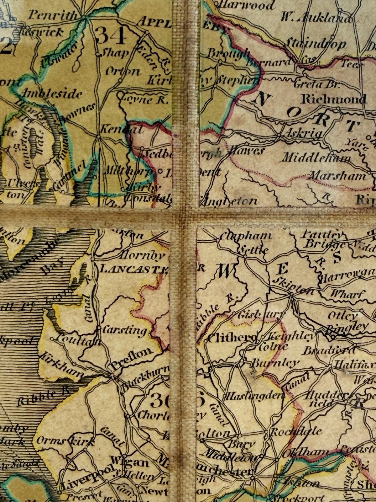
An original 19th-century map, created by the British cartographer and publisher Edward Mogg and published in London in 1835.
The work documents steamship routes between Great Britain, Ireland, and continental Europe, providing a detailed depiction of cities, ports, territorial divisions, and maritime connections, including distances and major lines of communication.
The map features an exquisite engraving with hand-coloring in shades of green, pink, and yellow. The composition is enhanced by a compass rose, distance tables, and insets dedicated to the northern islands of Scotland.
Divided into sections and mounted on linen, following the traditional format used for 19th-century folding travel maps.
An important artifact of British cartography and the development of steam navigation during the First Industrial Revolution.
Shipping & returns
Shipping & returns
Shipping calculated at checkout based on weight and volumetric weight.
Customized products will have longer delivery times than standard ones.
For returns, contact us by telephone no later than 2 days after receiving the goods.